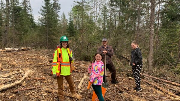
How is Resolute using innovative technologies to sustainably manage the boreal forest in Canada?
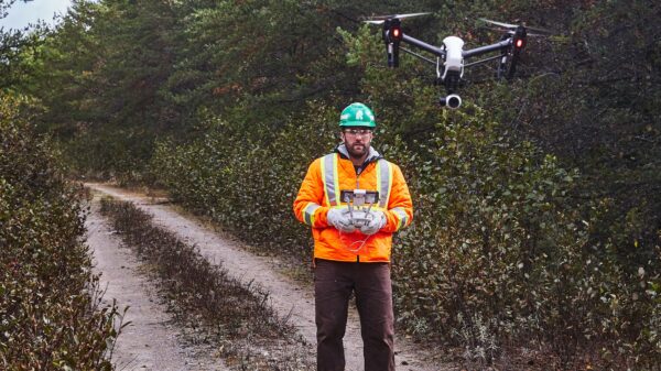
Unmanned aerial vehicles (UAV) moved quickly from spy gadgetry in Hollywood blockbusters to surprising reality when, in 2013, Amazon began touting its plans for a right-to-your-door drone delivery service. Companies involved in natural resource work and agriculture have also been finding applications for these airborne robots over the last several years. And forestry is no exception.
While a recent news story profiled the eco-friendly applications of drones for marine biology research, water quality testing and even tree planting, we wanted to dig a bit deeper to understand the potential of these high-tech tools for our industry in Canada.
You might already know that drones can affordably survey an area to deliver real-time data, but one new key application has been pairing drones with LiDAR technology. Light detection and ranging technology, or LiDAR, uses light pulses the same way radar uses sound, to measure distance from a target and generate useful information about what’s on the ground below.
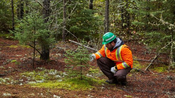
Creating 3D forest canopy profiles
FPInnovations, one of the world’ largest private scientific R&D centers, runs an innovation hub and engages in cutting edge investigations with input from members, governments and academia. One of their most exciting recent projects involved mounting LiDAR to drones to create 3D profiles of a landscape and the forest canopy. Using this information, it can generate extrapolations about forest inventory statistics.
Although large scale mapping with drones is not an immediate reality in Canada due to Transport Canada regulations, FPInnovations is researching the costs and accuracy of UAVs and how they could help collect reliable data about forests in the future.
Mapping harvest activities
Hovercam-Média recently opened an office (article in French only) in the heart of the resource-rich Gaspésie region, perhaps in light of their work with the forest products industry, in ecosystem monitoring and to complete environmental impact assessments.
But drones aren’t just for measuring tree heights and canopy densities. You can use them to decide where to build a road or figure out drainage patterns in watersheds. Or, to map same-day harvesting activity information, as Thunder Bay, Ontario, consultants Sumac Forest Information Services explain in a Northern Ontario Business article about the company’s purchase of a new UAV.
“With this technology, you can fly the day you finish harvesting. [And] because it’s high resolution, you can measure how much biomass is left on the site,” company co-owner Todd Domney told the paper, adding that UAV can be hand-launched and programmed to fly a boxed area of interest.
As self-described ‘timber cruisers’, Sumac’s team sees a variety of applications for its futuristic tool, but for now it plans to hold demonstrations for clients in the spring.